230919 Ross Bay
Highrocker - Wingfoiling |
Tuesday September 19, 2023 1:33 PM |
| Spot | Ross Bay |
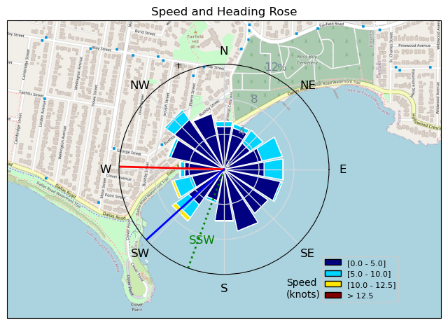
| Conditions | SSE 8-14, chop to 1ft swell |
| TOW | 1.0 hours |
| Toys | 2050sqcm Axis 1020mm Carbon Front Wing |
| 750mm Axis Aluminum Mast | |
| 115L JP Australia Foil Pro | |
| Details | I tried an hour before and only got a slog out to the point and back. Thank goodness Paul is super committed as he went back out about an hour later to sketch winds. Bobson and I watched RuppDog depart previously, but minutes later, Paul was up and foiling after a slog long in the bay. So, I jumped in like the good follower that I am and was rewarded with about 20min of cross bay flights. Lucky I had the loaner 7m Stinger from Lancer. I don't think my limited skills would have gotten me up and foiling on my 6m Cab. Did a few laps and then found I had a hard time getting lift. I've seen this script play out before and worked my way to shore while I still had some wind. Paul followed a few minutes later while Bob stayed out and searched for gusts. Short session, but it did the trick. [from Sailing Log on Tuesday September 19, 2023] |
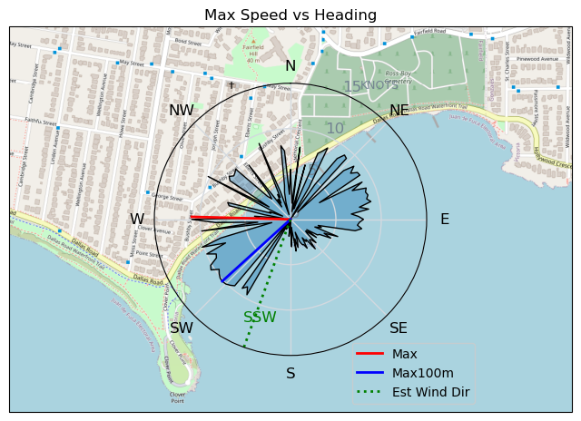
Speed (3s average)
| Speed | knots | km/h |
|---|---|---|
| Avg overall | 1.2 | 2.2 |
| Avg in motion | 4.7 | 8.7 |
| Max | 10.9 | 20.1 |
| Max 100m | 10.1 | 18.6 |
| Max 250m | 9.8 | 18.1 |
| Max 500m | 9.2 | 17.0 |
| Max 2s | 10.9 | 20.1 |
| Max 10s | 10.1 | 18.7 |
| Max Alpha (500/50m) | 8.3 | 15.5 |
| Avg Foiling | 7.9 | 14.6 |
Times and Duration
| Start | Tue Sep 19, 1:33 PM |
| End | Tue Sep 19, 3:35 PM |
| Duration | 02:01:35 |
| In motion | 00:31:07 |
| Paused (< 3 km/h) | 01:28:39 |
| Foiling | 00:08:58 |
| Not Foiling (< 8 km/h) | 01:50:48 |
| Last Calculated | Wed Sep 20, 1:02 AM |
Track Information
| Distance | 4.5 km |
| # Trackpoints | 1012 |
| Avg Trackpoint distance | 4.4 m |
| Number of Turns | 23 |
| Foiling Turns (> 8 km/h) | 3 |
| Foiling Turn Percentage | 13% |


Category: Wingfoiling
one year ago

Created one year ago
Highrocker |
Please register/login to download this track.
This track was downloaded 0 time(s). |
Please wait while loading suggestions..
Please wait while loading suggestions..
You must login to post comments.