Rescued again
Tsawwassen - Wingfoiling |
Monday April 08, 2024 4:10 PM |
| Spot | [Secret spot] |
| Conditions | SSE 20-30, Waist High Fun |
| TOW | 2.0 hours |
| Toys | Sabfoil 370 Stab |
| 1050 cm sq Sabfoil W730 | |
| 93cm Sabfoil Kraken Mast | |
| 703 mm Sabfoil Kraken Fuse F703K | |
| 3.5 KT Wing Air | |
| 72 KT Wing Drifter | |
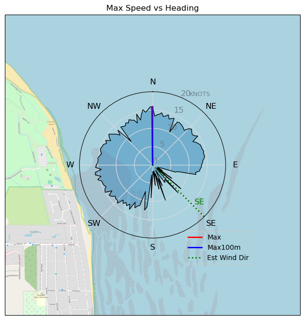
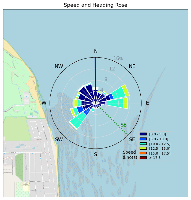
| Details | Big shout out to Johnny, the hero of the day, chasing down and rescuing my wing after my waist leash ripped open after a crash! We took the late afternoon shift with Craig, when the tide was high enough to wing. So lucky he was there, thanks bro!!! So grateful and sore as, after a crazy swim to try and catch it and then swimming down to meet Johnny. Once the session was saved it was back to more fun! You can see on the GPS track how far down wind it was and that was after Johnny had sailed back up wind with it to meet me!! [from Session Log on Monday April 08, 2024] |
Speed (3s average)
| Speed | knots | km/h |
|---|---|---|
| Avg overall | 4.8 | 8.8 |
| Avg in motion | 8.1 | 15.0 |
| Max | 15.9 | 29.5 |
| Max 100m | 14.8 | 27.3 |
| Max 250m | 13.7 | 25.4 |
| Max 500m | 13.2 | 24.5 |
| Max 2s | 15.9 | 29.4 |
| Max 10s | 15.1 | 27.9 |
| Max Alpha (500/50m) | 7.8 | 14.5 |
| Avg Foiling | 10.8 | 20.0 |
Times and Duration
| Start | Mon Apr 08, 4:10 PM |
| End | Mon Apr 08, 6:39 PM |
| Duration | 02:28:58 |
| In motion | 01:27:53 |
| Paused (< 3 km/h) | 00:41:35 |
| Foiling | 00:54:31 |
| Not Foiling (< 8 km/h) | 01:14:57 |
| Longest Foiling Segment | 00:05:02 (1.7 km) |
| Last Calculated | Tue Apr 09, 9:55 AM |
Track Information
| Distance | 22.0 km |
| # Trackpoints | 8535 |
| Avg Trackpoint distance | 2.6 m |
| Number of Turns | 94 |
| Foiling Turns (> 8 km/h) | 17 |
| Foiling Turn Percentage | 18% |


Category: Wingfoiling
8 months ago

Created 8 months ago
Tsawwassen |
Please register/login to download this track.
This track was downloaded 0 time(s). |
Please wait while loading suggestions..
Please wait while loading suggestions..
You must login to post comments.