Slog, Awesomeness, Slog
tugboat - Wingfoiling |
Sunday July 21, 2024 5:29 PM |
| Spot | Ross Bay |
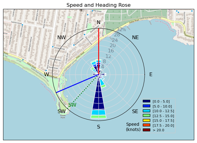
| Conditions | W 15-18, 1-4ft |
| TOW | 2.0 hours |
| Toys | 1050cm 2 Omen Operator 1050 |
| 5m KT WING Air DD | |
| 4m KT Wing Air DD | |
| 72L Omen Flux | |
| Details | From lame to awesome to lame. Got out immediately, but the swell coming in from multiple directions combined with weak wind from the west that couldn't really fill the bay made for a lot of slogging. And on the occasion that I got going, seaweed prevailed. Wind finally picked up mid session and things got cooking. 5 m wasn't enough and then it was too much and 4 m had to come out. Good session in the middle but lacking wind, integrity, good swell. The seaweed thing took me down a lot. Tried to go back out on a 5 m towards the end as things dropped, but I could tell it was over. [from Session Log on Sunday July 21, 2024] |
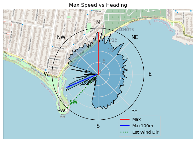
Speed (3s average)
| Speed | knots | km/h |
|---|---|---|
| Avg overall | 4.3 | 8.1 |
| Avg in motion | 8.6 | 15.8 |
| Max | 18.3 | 33.9 |
| Max 100m | 15.0 | 27.7 |
| Max 250m | 15.0 | 27.7 |
| Max 500m | 13.2 | 24.4 |
| Max 2s | 18.2 | 33.7 |
| Max 10s | 15.6 | 28.9 |
| Max Alpha (500/50m) | 12.0 | 22.2 |
| Avg Foiling | 10.9 | 20.2 |
Times and Duration
| Start | Sun Jul 21, 5:29 PM |
| End | Sun Jul 21, 7:41 PM |
| Duration | 02:11:50 |
| In motion | 01:06:59 |
| Paused (< 3 km/h) | 00:36:37 |
| Foiling | 00:41:54 |
| Not Foiling (< 8 km/h) | 01:01:42 |
| Longest Foiling Segment | 00:08:11 (2.7 km) |
| Last Calculated | Mon Jul 22, 10:47 AM |
Track Information
| Distance | 17.7 km |
| # Trackpoints | 7138 |
| Avg Trackpoint distance | 2.5 m |
| Number of Turns | 71 |
| Foiling Turns (> 8 km/h) | 39 |
| Foiling Turn Percentage | 55% |


Category: Wingfoiling
5 months ago

Created 5 months ago
tugboat |
Please register/login to download this track.
This track was downloaded 1 time(s). |
Please wait while loading suggestions..
Please wait while loading suggestions..
You must login to post comments.