240827 Ross Bay
Highrocker - Wingfoiling |
Tuesday August 27, 2024 12:03 PM |
| Spot | Ross Bay |
| Conditions | WSW 18-25, 1-3ft swell |
| TOW | 2.0 hours |
| Toys | 115L JP Australia Foil Pro |
| 2050sqcm Axis 1020mm Carbon Front Wing | |
| 900mm Axis Aluminum Mast | |
| Details | What a fantastic foil day at RB! BWD forecast promised decent conditions, but what we got was much better. For me, it was one of the best days at RB with Pipers-like vibes, without the fin crew! Great summery weather, 4m/3m winds, and gorgeous smooth swells. Got some of my fastest and longest flagged out rides. Although it was easier to spot them, I still managed to get taken down by the kelp. Lots of OGs, elites, and others filled the swells in a fun, uncrowded way! [from Session Log on Tuesday August 27, 2024] |
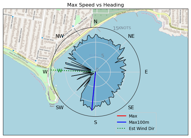
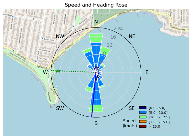
Speed (3s average)
| Speed | knots | km/h |
|---|---|---|
| Avg overall | 5.5 | 10.2 |
| Avg in motion | 8.5 | 15.7 |
| Max | 12.9 | 23.9 |
| Max 100m | 12.2 | 22.6 |
| Max 250m | 11.2 | 20.8 |
| Max 500m | 10.6 | 19.6 |
| Max 2s | 12.9 | 23.9 |
| Max 10s | 12.6 | 23.4 |
| Max Alpha (500/50m) | 10.4 | 19.3 |
| Avg Foiling | 8.9 | 16.6 |
Times and Duration
| Start | Tue Aug 27, 12:03 PM |
| End | Tue Aug 27, 3:52 PM |
| Duration | 03:49:33 |
| In motion | 02:29:06 |
| Paused (< 3 km/h) | 01:16:33 |
| Foiling | 02:14:08 |
| Not Foiling (< 8 km/h) | 01:31:31 |
| Longest Foiling Segment | 00:17:12 (4.7 km) |
| Last Calculated | Tue Aug 27, 9:43 PM |
Track Information
| Distance | 39.0 km |
| # Trackpoints | 4144 |
| Avg Trackpoint distance | 9.4 m |
| Number of Turns | 79 |
| Foiling Turns (> 8 km/h) | 68 |
| Foiling Turn Percentage | 86% |


Category: Wingfoiling
3 months ago

Created 3 months ago
Highrocker |
Please register/login to download this track.
This track was downloaded 0 time(s). |
| 35 241120 Willows |
| 42 Willows Bomb Session |
| 42 Shoot the Entrance |
| 34 CloverPartDeux |
| 25 Come back soon Bombo |
Please wait while loading suggestions..
Please wait while loading suggestions..
You must login to post comments.