Pt.Holmes 08/12
mayday - Wingfoiling |
Monday August 12, 2024 4:07 PM |
| Spot | Comox Spit |
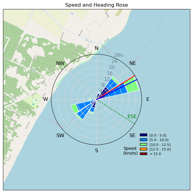
| Conditions | SE 10-12, chop, small swell |
| TOW | 1.5 hours |
| Toys | 1880 reedin flight attendant |
| 6m duotone slick | |
| 115 quattro drifter | |
| Details | Very marginal to start - i probably wouldn't have gone out so soon, but seeing neighbor Mike on the kite got the competition going - what i neglected to take into account, was he had a 10,000m2 kite ( well, technically 10m, but might as well have been). After a slow start, rest of session was a chill ride. [from Session Log on Monday August 12, 2024] |
Speed (3s average)
| Speed | knots | km/h |
|---|---|---|
| Avg overall | 7.0 | 13.0 |
| Avg in motion | 7.4 | 13.7 |
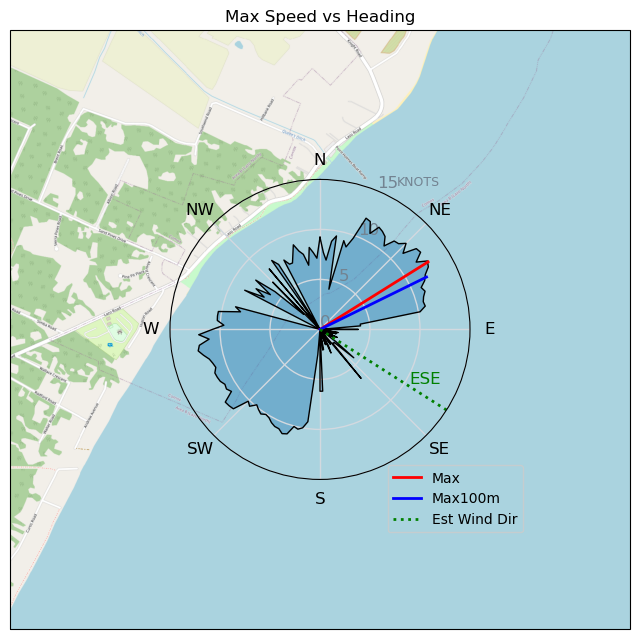
| Max | 12.7 | 23.6 |
| Max 100m | 11.8 | 21.9 |
| Max 250m | 10.7 | 19.9 |
| Max 500m | 10.3 | 19.0 |
| Max 2s | 12.7 | 23.5 |
| Max 10s | 12.3 | 22.7 |
| Max Alpha (500/50m) | 9.7 | 17.9 |
| Avg Foiling | 9.2 | 17.1 |
Times and Duration
| Start | Mon Aug 12, 4:07 PM |
| End | Mon Aug 12, 5:38 PM |
| Duration | 01:31:27 |
| In motion | 01:26:46 |
| Paused (< 3 km/h) | 00:03:52 |
| Foiling | 01:01:13 |
| Not Foiling (< 8 km/h) | 00:29:25 |
| Longest Foiling Segment | 00:34:49 (10.1 km) |
| Last Calculated | Mon Aug 12, 6:11 PM |
Track Information
| Distance | 19.9 km |
| # Trackpoints | 5465 |
| Avg Trackpoint distance | 3.6 m |
| Number of Turns | 17 |
| Foiling Turns (> 8 km/h) | 11 |
| Foiling Turn Percentage | 65% |


Category: Wingfoiling
4 months ago

Created 4 months ago
mayday |
Please register/login to download this track.
This track was downloaded 0 time(s). |
Please wait while loading suggestions..
Please wait while loading suggestions..
You must login to post comments.