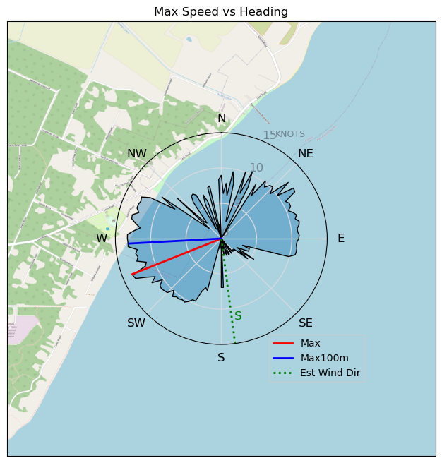
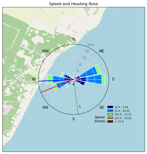
Pt.Holmes 10/14
mayday - Wingfoiling |
Monday October 14, 2024 8:55 AM |
| Spot | Comox Spit |
| Conditions | SE 15-20, swell |
| TOW | 1.5 hours |
| Toys | 115 quattro drifter |
| 6m duotone slick | |
| 5m duotone slick sls | |
| 1880 reedin flight attendant | |
| Details | A bit of everything- a strong SE, easing forecast, so started out on the 5m, after 20mins, came in and got the 6m- of course it came back in hard, so was largely overpowered. Some fun wave rides though. And gave the drysuit a rest, and tried the brand new wetsuit ( props to DirtyMermaid - reasonable cost, quick shipping) - turns out a suit that isn't more patches and holes than actual neoprene is quite warm and comfortable- who knew. [from Session Log on Monday October 14, 2024] |
Speed (3s average)
| Speed | knots | km/h |
|---|---|---|
| Avg overall | 5.6 | 10.4 |
| Avg in motion | 7.2 | 13.4 |
| Max | 13.6 | 25.2 |
| Max 100m | 11.8 | 21.9 |
| Max 250m | 10.8 | 20.1 |
| Max 500m | 10.4 | 19.2 |
| Max 2s | 13.5 | 25.0 |
| Max 10s | 12.8 | 23.7 |
| Max Alpha (500/50m) | 10.2 | 18.9 |
| Avg Foiling | 9.3 | 17.1 |
Times and Duration
| Start | Mon Oct 14, 8:55 AM |
| End | Mon Oct 14, 10:16 AM |
| Duration | 01:20:21 |
| In motion | 01:02:28 |
| Paused (< 3 km/h) | 00:14:54 |
| Foiling | 00:40:36 |
| Not Foiling (< 8 km/h) | 00:36:46 |
| Longest Foiling Segment | 00:07:12 (2.1 km) |
| Last Calculated | Mon Oct 14, 10:43 AM |
Track Information
| Distance | 14.0 km |
| # Trackpoints | 4787 |
| Avg Trackpoint distance | 2.9 m |
| Number of Turns | 25 |
| Foiling Turns (> 8 km/h) | 5 |
| Foiling Turn Percentage | 20% |


Category: Wingfoiling
6 weeks ago

Created 6 weeks ago
mayday |
Please register/login to download this track.
This track was downloaded 0 time(s). |
| 33 241120 Willows |
| 40 Willows Bomb Session |
| 40 Shoot the Entrance |
| 30 CloverPartDeux |
| 24 Come back soon Bombo |
Please wait while loading suggestions..
Please wait while loading suggestions..
You must login to post comments.